As part of the European Commission’s Lifelong Learning Programme, Mapping for Change were chosen to represent the UK in a learning exchange project with the University of Udine (Italy) and the University of Oulu (Finland).
The project focused on specific educational and community issues in the field of social housing, where people are at risk of segregation and social exclusion. ACtS aimed to explore how informal learning, in the context of social housing, could reinforce social cohesion, active citizenship, intercultural dialogue, gender equality and personal fulfilment.
Our Role
Each of the project partners adopted a specific informal learning approach (community mapping, visual anthropology and identity building, informal citizenship education) to meet the project aims and objective. MfC explored the ways in which participatory and community mapping can facilitate community cohesion and overcome social exclusion in the Thamesmead estates, London.
Impact
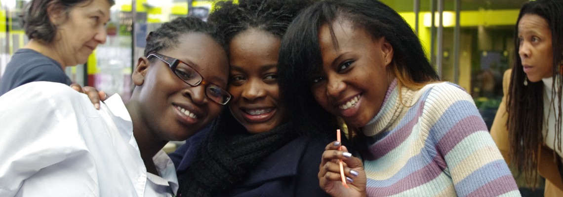
The mapping enabled local residents to record their ideas and perceptions of their surroundings, propose improvements to public spaces, and identify key resources and valued spaces and places within the community. Individually, participants developed skills in using information and communication technologies.
Together, MfC and residents developed an online Community Map . Some of the benefits were:
- The map provided a unique way to work with people newly arrived in the UK to record their experiences and perceptions – this offered agencies and others a chance to understand and learn from these new residents;
- Mapping local events, training and volunteering opportunities provided an opportunity to improve integration into society;
- By engaging the wider community to put forward ideas for projects to improve shared spaces, residents acquired the potential to develop shared common goals, create new links and form new social networks;
- Those involved learned IT, communication and mapping skills that would enable their friends and families to use the system as well.
Related Projects
Hackney Wick Community Map
Hackney Wick is a community situated on the boundary of the 2012 Olympic Park within the London Borough of Hackney. Hackney Wick is just one of the many communities facing considerable change as a result of major development and regeneration plans. Developments to the Olympic site resulted in the loss of facilities used by local residents, such as the local playing field and allotments. There was continued mixed sentiment about the development and the legacy which they were to inherit.
Mapping the Pathway to Equalities
There are around 30,000 Gypsies and Travellers in London. Their culture and traditions have developed through a nomadic way of life over centuries. However, across the country the community face an uncertain future. With some of the poorest social outcomes of any group in Britain the burgeoning cuts to public services will have a disproportionate effect on the community.

